
Mapping
Professional Aerial Mapping
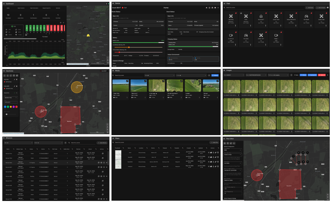
Create high-resolution maps, orthomosaics, and 3D models from drone imagery. Our mapping tools make surveying faster and more accurate than ever.
Mapping Tools
Survey-grade mapping
Map any terrain
From construction sites to agricultural fields, our mapping tools handle any environment.Automated Flight Planning
Generate optimal flight patterns for complete coverage of your survey area.
Real-time Stitching
See your map building in real-time as your drone captures imagery.
Accuracy Optimization
GCP integration and RTK support for centimeter-level accuracy.

Mapping Features
Complete aerial surveying solution
Generate georeferenced orthomosaic maps from drone imagery.
Create detailed 3D models and digital elevation models.
Generate dense point clouds for detailed analysis.
Measure distances, areas, and volumes directly on maps.
Add markers, labels, and notes to your maps.
Export in GeoTIFF, KML, OBJ, and other standard formats.
Start mapping today
See how our mapping tools can enhance your surveying workflow.