



· Yogesh Khedar· Platform· 3 min read
The Mission Defines the Robot, Not the Reverse
Most drone use cases extend naturally to ground- and water-based systems. The interesting question is not which vehicle to buy but how to run several as one operation.
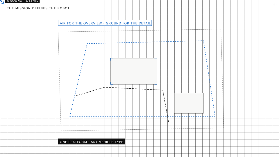
Most drone use cases extend naturally to ground- and water-based systems. Once you accept that, the interesting question is not which vehicle to buy but how to run several of them as one operation.
Air for overview, ground and water for detail
Different vantage points answer different questions. An aircraft covers ground quickly and sees the whole site. A ground or surface vehicle gets close enough for the measurement that actually decides something, and stays there as long as it takes.
- The drone finds it. Fast, wide coverage to identify where something warrants a closer look: the survey pass, the thermal sweep, the orbit around the structure.
- The ground vehicle inspects it. Close-up analysis from angles an aircraft cannot hold, a contact measurement, a gas reading at the surface, with the time to do it properly.
- One operation, not two. Both vehicles on the same map, the same mission and the same report. Otherwise you have bought two systems and integrated neither.
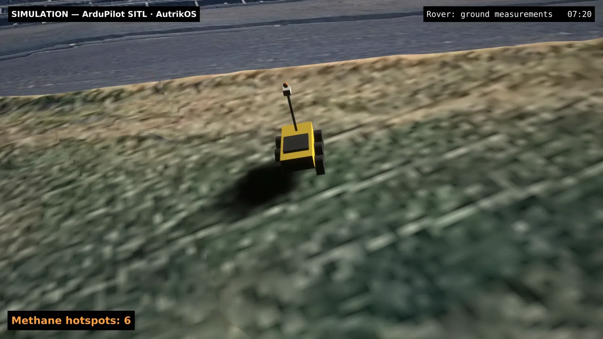
The landfill case: a rover drives the slope to the methane hotspots the aircraft mapped, on the photorealistic twin.
Where a single modality falls short
These are the cases that made the argument for us.
- Harbour inspection. Quays, vessels and water each need a different vantage point. A drone over the basin, a surface vessel with sonar along the quay wall, and a ground vehicle on the apron together cover what none of them covers alone. The quay survey is flown, sailed and driven as three plans of one project.
- Energy infrastructure. The drone gives the overview of a line or a plant; a ground-based system gets the accurate close-up from angles the aircraft cannot sustain, under the line and inside the fence.
- Landfill monitoring. Dense vegetation defeats any single modality. The aircraft maps the methane plume from above with the laser spectrometer and the thermal camera; the rover drives the slope to the hot spot with a sensor at the surface. There is no one-size-fits-all answer for a Deponie, and we have the flights to show it.
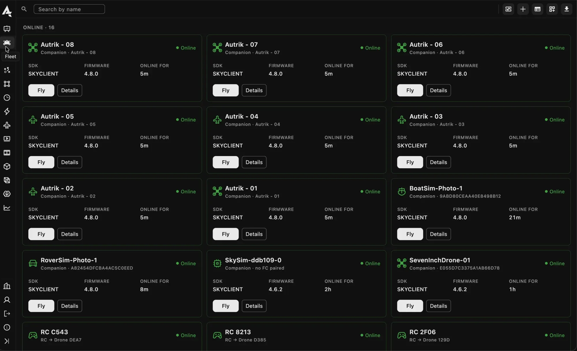
Aircraft, a boat and a rover in one fleet list.
One platform, any vehicle type
- One operations workflow. Planning, execution and review work the same way whether the vehicle flies, drives or floats. The plan editor draws a survey for a boat and an aircraft alike; the mission runs from the same page.
- One onboard client. The same software on each vehicle’s companion computer, so the boat’s sonar, the rover’s cameras and the aircraft’s lidar arrive the same way and are logged the same way.
- Shared points of interest. Findings from one vehicle are immediately visible to the others, which is the entire point of running them together.
- The controls that differ, and nothing else. Take-off and return for the aircraft, arm and start for the rover and the boat, a tuning page for the ground and water loops, a depth trace instead of an altitude. Everything else is one console.
- Unified reporting. One deliverable covering the whole operation rather than a document per vehicle for the client to reconcile.
Where this stands
Aircraft, docks, rovers and boats are in the product today, on open autopilots and on DJI. Legged robots run on our bench and are the next vehicle type. The domains and what each asks of the platform are in Air, Land, Water; the maritime specifics are in Water Is Not Slow Air.
Which second modality would help your operation? Talk to us and we will walk through where a ground or surface vehicle earns its place.